Mapping Forest Communities at 10-m Resolution Using Deep Learning
Sep 10, 2025
·
1 min read
Abstract
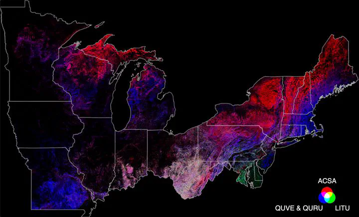
Collaborating with Google DeepMind and Earth Engine teams, we map forest communities at 10-m resolution across Northeastern and Midwestern United States using a novel remote sensing embedding fields dataset generated by deep learning and in-situ forest inventory measurements. We provide community-constrained species maps that delineate the spatial distributions of more than 50 tree species, along with maps of plot-level aboveground carbon, basal area, and stem density. These products offer a foundation for applications in landscape simulation, biodiversity conservation, and socio-economic policymaking.
Stay tuned, our paper is coming soon!